Aviation GPS
Aviation Watches, Portables, and Accessories
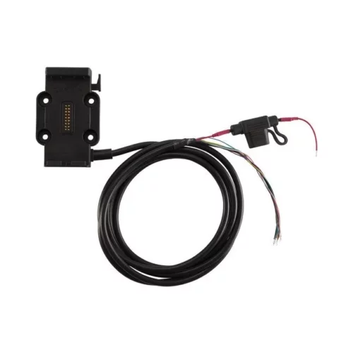
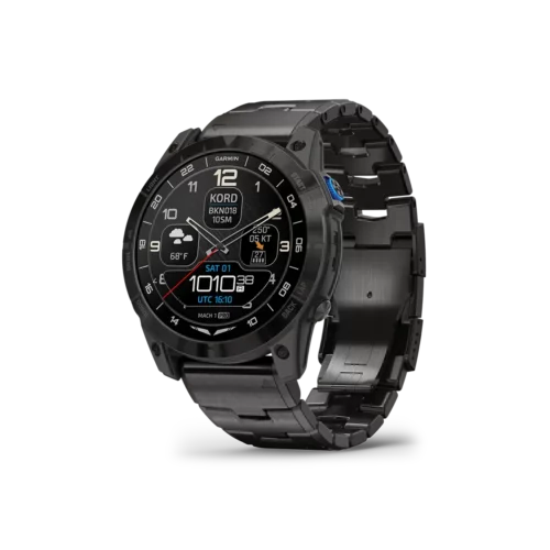
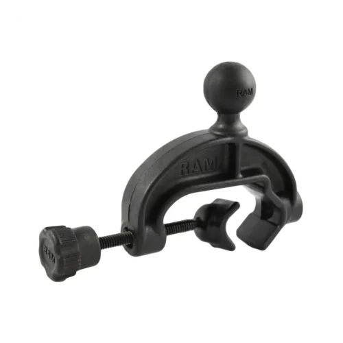
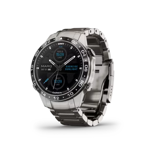
At GPS Central, you’ll find the top aviation GPS navigation devices for pilots and other aviation enthusiasts alike. Our aviation GPS products include aviation watches, headsets, portables, and other aviation accessories. We offer a wide selection of Garmin aviation watches and portables, Dual receivers, David Clark aviation headsets, and RAM Mount accessories to fit your needs. Shop all our aviation GPS equipment today!
$89.99
On backorder
NEW
$1,889.99
In stock
$33.95
On backorder
$3,200.00
On backorder
$1,559.99 – $1,749.99
In stock
$1,299.99
On backorder
$2,099.99
On backorder
$739.99
In stock
$159.99 – $199.99
In stock, some on backorder
$220.00
In stock
$839.99
On backorder
$1,549.99
In stock
$74.99
In stock
$49.95
On backorder
$63.95
On backorder

$520.00 – $529.00
On backorder
$64.95
On backorder