Garmin Automotive Suction Cup Mount for zumo 350
MPN: 010-11843-02
$21.99
Out of Stock (On Order)
All prices are in CDN dollars.
All prices are in CDN dollars.
$21.99
Out of Stock (On Order)
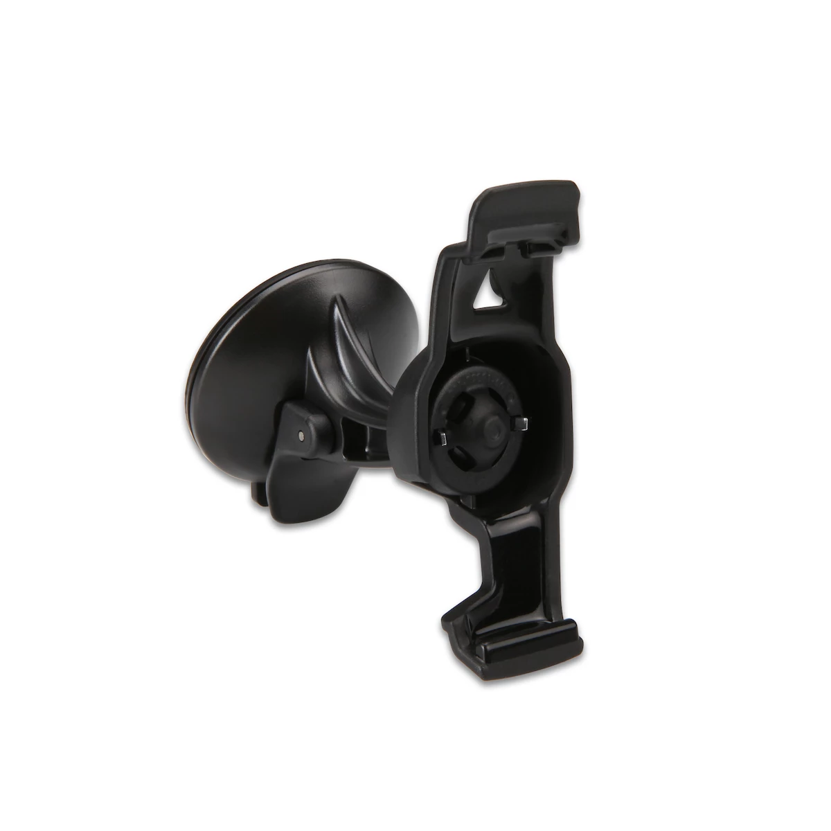
Take advantage of zumo 350’s versatility. Move your zumo from your motorcycle to your car dashboard or windshield with this automotive suction cup mount.
Compatibility:
| Weight | 0.12 lbs |
|---|---|
| Dimensions | 2 × 2 × 3.5 in |
| Manufacturer Part Number | 010-11843-02 |
All prices are in CDN dollars.