
Garmin Rino Series GPS Comparison
Friday, July 2, 2021 — 0 Comments
Garmin Rino 700 Basic GPS & Two-Way Radio
The Garmin Rino 700 is a basic outdoors GPS & two-way radio combo with a long battery life. The Rino 700 comes with a basemap but has no built-in memory and cannot accept additional maps.
Garmin Rino 750, 750t & 755t Additional Features
Garmin Rino 750, 750t, and 755t have more features and functionality. For an outdoors GPS with two-way radio that can also provide routing, has Bluetooth and connectivity options, has a touchscreen and has both an internal battery as well as taking AA batteries, you’ll want to choose the Rino 750, 750t or 755t.
The main differences between the Rino 750, Rino 750t and Rino 755t are that the Rino 750t and Rino 755t comes with preloaded topographic maps of Canada (t=topographic map), has a larger built-in memory, and the Rino 755t also has a camera.
The Garmin Rino series handheld GPS all have these features:
Garmin Rino GPS Receivers
- GPS/GLONASS: GPS & GLONASS
- High-Sensitivity Receiver: yes
Maps & Data Inputs
- Basemap: yes
- Geocaching Friendly: yes
- Hunt/Fish Calendar: yes
- Sun & Moon Information: yes
Two-Way Radio Features:
- Channels: 22
- Squelch codes: 38 (CTCSS); 83 (DCS)
- Range: Up to 2 miles over FRS; up to 8 miles over GMRS (13km)
- Contacts: 50
- VOX (voice activations): yes
- Location Reporting (Send & Receive GPS Positions): yes
Each Garmin Rino is IPX7 waterproof.
Garmin Rino Recommendations:
- Best current value: Rino 750 — combines robust radio, reliable GPS+GLONASS, and solid build, though mapping is basic.
- Alternative: Rino 700 — similar to 750 but greyscale screen and no mapping available
- Classic picks: 750, 750t, — offer topo maps (on 750t) and touchscreen; camera (on 750).
- Radio caveat: Expect ~1‑mile range in forests and up to ~10 miles with clear line-of-sight. All units share this limitation.
Tips Before Buying
- Mapping Needs: If you want rich mapping (detailed roads, contours, aerials), pair any Rino with an external GPS or dedicated map-capable device, such as the Montana Series.
- Terrain: For dense forests or deep valleys, plan for limited radio range.
- Battery Pack: Consider carrying solar power charging backup, spare battery or extra AA batteries (750, 750t, 755t only) if you’ll be out for extended trips.
| Product | Garmin Rino 700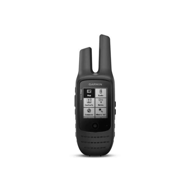 |
Garmin Rino 750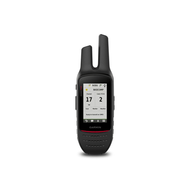 |
Garmin Rino 750t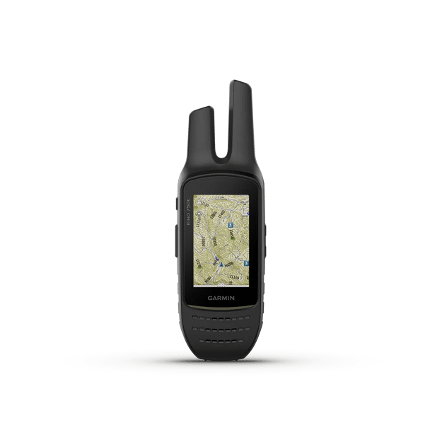 |
Garmin Rino 755t |
|---|---|---|---|---|
| General | ||||
| Unit Dimensions | 2.38”x7.02”x 1.74” (6.0x 17.8x 4.4cm) |
2.6” x 7.9” x 1.6” (6.6 x 20.1 x 4.1 cm) |
2.6” x 7.9” x 1.6” (6.6 x 20.1 x 4.1 cm) |
2.6” x 7.9” x 1.6” (6.6 x 20.1 x 4.1 cm) |
| Weigth | 8.6 oz (268 g) | 12.3 oz (348 g) with battery pack | 12.3 oz (348 g) with battery pack | 12.3 oz (348 g) with battery pack |
| Water rating | IPX7 | IPX7 | IPX7 | IPX7 |
| Touchscreen | ❌ | ✅ | ✅ | ✅ |
| Display Type | monochrome; 4-level gray | 3.0″ transflective, 65K color TFT | 3.0″ transflective, 65K color TFT | 3.0″ transflective, 65K color TFT |
| Display Size | 1.4″ x 1.7″ (3.6 x 4.3 cm); 2.2″ diag (5.6 cm) | 1.53” x 2.55” (3.8 x 6.4 cm); 3.0″ diag (7.6 cm) | 1.53” x 2.55” (3.8 x 6.4 cm); 3.0″ diag (7.6 cm) | 1.53” x 2.55” (3.8 x 6.4 cm); 3.0″ diag (7.6 cm) |
| Display Resolution | 128 x 160 pixels | 240 x 400 pixels | 240 x 400 pixels | 240 x 400 pixels |
| Battery type | internal lithium-ion battery pack | removable, rechargeable lithium-ion battery pack; AA battery pack (not included) | removable, rechargeable lithium-ion battery pack; AA battery pack (not included) | removable, rechargeable lithium-ion battery pack; AA battery pack (not included) |
| Battery life | up to 13 hours | up to 14 hours (up to 18 hours with optional AA battery pack at 2 watts) | up to 14 hours (up to 18 hours with optional AA battery pack at 2 watts) | up to 14 hours (up to 18 hours with optional AA battery pack at 2 watts) |
| Memory/History | ❌ | 1.7 GB | 4.5 GB (user space varies based on included mapping) | 4.5 GB (user space varies based on included mapping) |
| Interface | high speed mini USB | high speed mini USB and NMEA 0183 compatible | high speed mini USB and NMEA 0183 compatible | high speed mini USB and NMEA 0183 compatible |
| Maps & Memory | ||||
| Preloaded Maps | ❌ | ❌ | ✅ (topographic maps of Canada, not routable) | ✅ (topographic maps of Canada, not routable) |
| Ability to Add Maps | ❌ | ✅ | ✅ | ✅ |
| Automatic routing (turn by turn routing on roads) for outdoor activities | ❌ | Yes (with optional mapping for detailed roads) | Yes (with optional mapping for detailed roads) | Yes (with optional mapping for detailed roads) |
| Custom Maps Compatibility | ❌ | ✅ | ✅ | ✅ |
| Includes detailed hydrographic features (coastlines, lake/river shorelines, wetlands and perennial and seasonal streams) | ❌ | ❌ (additional mapping needed) | ✅ | ✅ |
| Includes searchable points of interests (parks, campgrounds, scenic lookouts and picnic sites) | ❌ | ❌ (additional mapping needed) | ✅ | ✅ |
| Displays national, state and local parks, forests, and wilderness areas | ❌ | ❌ (additional mapping needed) | ✅ | ✅ |
| Map Segments | ❌ | 15,000 | 15,000 | 15,000 |
| External memory storage | ❌ | microSD card (not included) | microSD card (not included) | microSD card (not included) |
| Waypoints/favorites/locations | 1,000 | 10,000 | 10,000 | 10,000 |
| Tracks | 200 | 250 | 250 | 250 |
| Navigation Routes | 50 | 250, 250 points per route; 50 points auto routing | 250, 250 points per route; 50 points auto routing | 250, 250 points per route; 50 points auto routing |
| Navigation Track Log | 10,000 points, 100 saved tracks | 20,000 points, 200 saved tracks | 20,000 points, 200 saved tracks | 20,000 points, 200 saved tracks |
| Sensors | ||||
| GPS | ✅ | ✅ | ✅ | ✅ |
| GLONASS | ✅ | ✅ | ✅ | ✅ |
| Barometric altimeter | ❌ | ✅ | ✅ | ✅ |
| Compass | ❌ | ✅(tilt-compensated 3-axis) | ✅(tilt-compensated 3-axis) | ✅(tilt-compensated 3-axis) |
| High-sensitivity receiver | ✅ | ✅ | ✅ | ✅ |
| GPS compass (while moving) | ✅ | ✅ | ✅ | ✅ |
| Daily Smart Features | ||||
| Connections Wireless Connectivity | ❌ | BLUETOOTH®, ANT+® | BLUETOOTH®, ANT+® | BLUETOOTH®, ANT+® |
| Connect IQ™ (downloadable watch faces, data fields, widgets and apps) | ❌ | ✅ | ✅ | ✅ |
| Smart notifications on handheld | ❌ | ✅ | ✅ | ✅ |
| Weather forecasts | ❌ | ✅ | ✅ | ✅ |
| Active Weather | ❌ | ✅ | ✅ | ✅ |
| VIRB® Remote | ❌ | ✅ | ✅ | ✅ |
| Pairs with Garmin Connect™ Mobile | ✅ | ✅ | ✅ | ✅ |
| LiveTrack | ❌ | ✅ | ✅ | ✅ |
| XERO™ Locations | ❌ | ✅ | ✅ | ✅ |
| Outdoor Recreation | ||||
| Point-to-point navigation | ✅ | ✅ | ✅ | ✅ |
| Area calculation | ❌ | ✅ | ✅ | ✅ |
| Fish forecast | ✅ | ✅ | ✅ | ✅ |
| Sun and moon information | ✅ | ✅ | ✅ | ✅ |
| Geocaching-friendly | ✅ | ✅ (Geocache Live) | ✅ (Geocache Live) | ✅ (Geocache Live) |
| Custom maps compatible | ❌ | ✅ (500 custom map tiles) | ✅ (500 custom map tiles) | ✅ (500 custom map tiles) |
| Picture viewer | ❌ | ✅ | ✅ | ✅ |
| Camera | ❌ | 240 x 400 pixels | ❌ | ✅ (8 megapixel with autofocus; 4x digital zoom; automatic geo-tagging) |
| LED beacon flashlight | ❌ | ❌ | ❌ | ✅ |
| Radio Features | ||||
| Frequency Band | GMRS | FRS and GMRS | FRS and GMRS | FRS and GMRS |
| Channels | 22 | 22 | 22 | 22 |
| Squelch codes | 38 (CTCSS); 83 (DCS) | 38 (CTCSS); 83 (DCS) | 38 (CTCSS); 83 (DCS) | 38 (CTCSS); 83 (DCS) |
| Range | up to 12 miles over GMRS | Up to 20 miles over GMRS | Up to 20 miles over GMRS | Up to 20 miles over GMRS |
| Transmit Power | 2.0 watts GMRS | 0.5 watts FRS, 2.0 watts GMRS | 0.5 watts FRS, 2.0 watts, GMRS | 0.5 watts FRS, 2.0 watts, GMRS |
| VOX (voice activation) | ✅ | ✅ | ✅ | ✅ |
| Location reporting (send and receive GPS positions) | ✅ | ✅ | ✅ | ✅ |
| Vibration Alert | ❌ | ✅ | ✅ | ✅ |
| Contacts | 50 contacts with 2000 track points each | 50 contacts with 2000 track points each | 50 contacts with 2000 track points each | 50 contacts with 2000 track points each |
Photo Navigation: Are you looking to navigate to a location based on the coordinates of a photo? You can’t do that with the Garmin Rino. Instead, you’ll want to use the Montana 710 Series for photo navigation.