Compare Personal Locator Beacons and Satellite Messengers
Monday, August 2, 2021 — 0 Comments
What is a Personal Locator Beacon?
A Personal Locator Beacon, or PLB, is a personal electronic transmitting device that, when activated in a life-threatening emergency, sends a distress signal to the international Cospas-Sarsat satellite system.
This signal, encoded with your unique identification code and precise GPS location, is routed to the appropriate search and rescue (SAR) authorities.
It is a direct link to getting help, with no monthly subscription fees required.
PLB vs. Satellite Messenger: What’s the Difference?
This is the most common question we get, as the devices can look similar. The difference is simple:
- PLBs are for one-way emergency communication only. You press the SOS button, and a rescue is initiated. They operate on the 406 MHz frequency, which is monitored by the Cospas-Sarsat SAR network, and have a powerful signal. They do not require a subscription.
- Satellite Messengers (like Garmin inReach or Zoleo) allow for two-way communication. You can send and receive text messages, track your location, and send an SOS. These features require an active monthly or annual subscription plan.
While a satellite messenger offers more features, a PLB is often considered the most reliable and foolproof device for a worst-case scenario emergency.
Who Needs a PLB?
Anyone who ventures into areas without reliable cellular service should carry a PLB. This includes:
- Hikers and Backpackers exploring the backcountry.
- Boaters and Anglers heading offshore or into remote lakes.
- Hunters in remote wilderness areas.
- Pilots of small aircraft.
- Off-roaders and Snowmobilers exploring remote trails.
At GPS Central, we are committed to your safety. We stock the most reliable PLBs on the market, ready to ship from our Canadian warehouse.
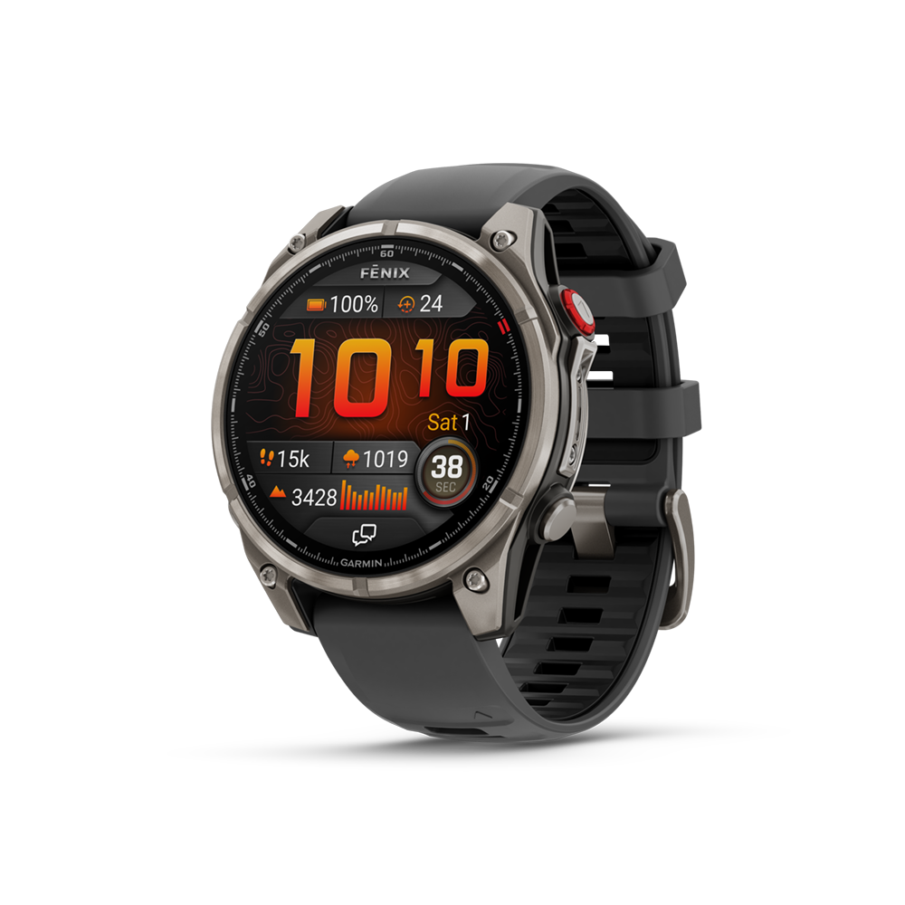
ACR, Spot 4, Spot X, Garmin inReach Mini 2, inReach Mini 3, inReach Mini 3 Plus, Messenger, Messenger Plus, Montana 710i/760i, GPSMAP H1i Plus, fenix 8 Pro, Iridium GO!, Iridium GO! exec, ZOLEO & Motorola defy Comparison
When you're off the beaten path, there are more and more options available to get help in an emergency, or keep in touch with loved ones.
Which system will be the best for you? Have a look at our handy comparison chart to help you with your decision!
| Product | ACR – 406 Link |
SPOT 4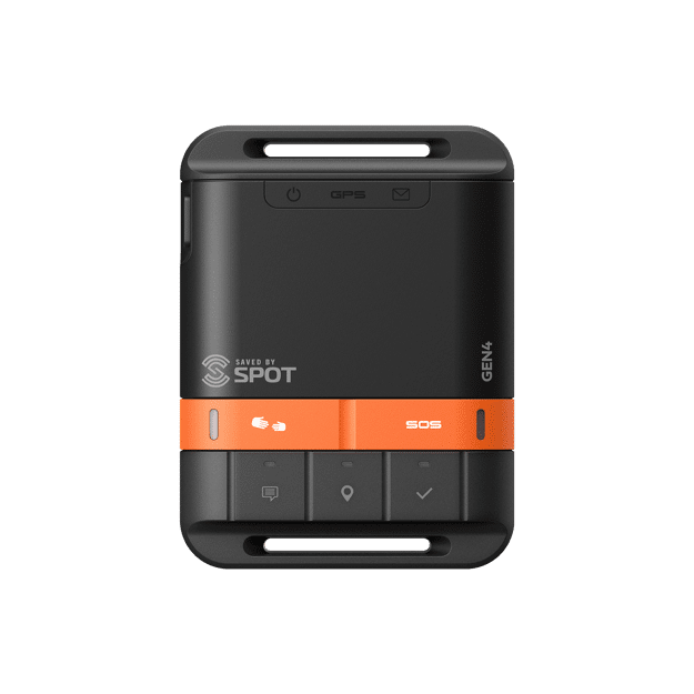 |
SPOT X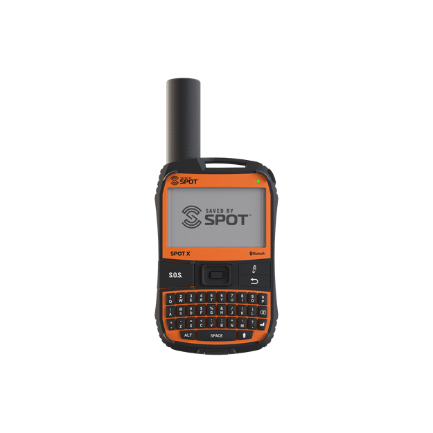 |
Garmin inReach Mini 2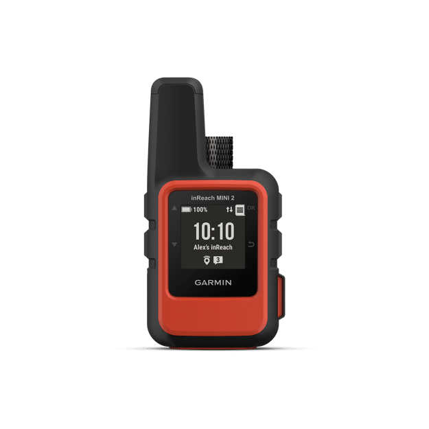 |
Garmin inReach Mini 3 & Mini 3 Plus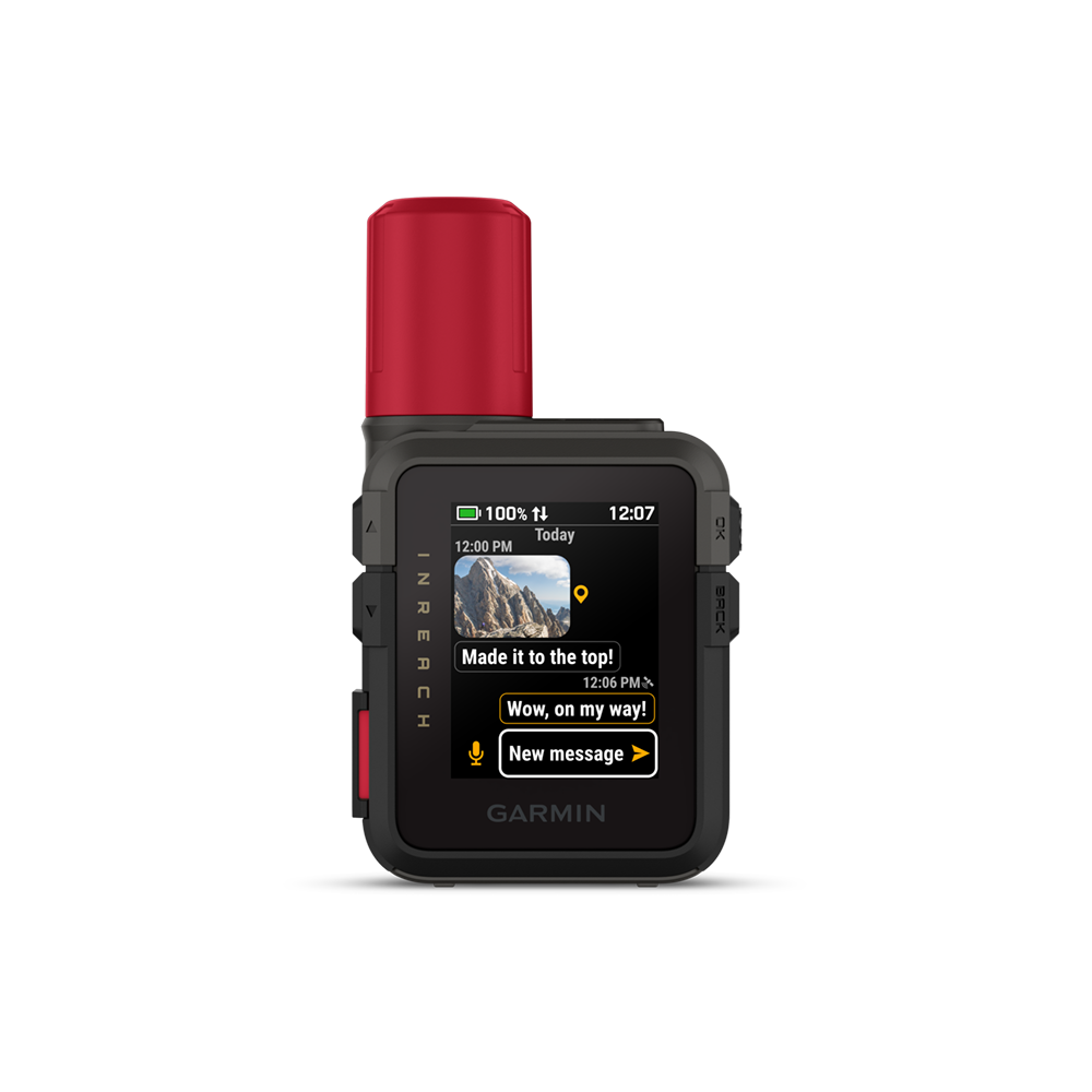 |
Garmin Montana 710i & 760i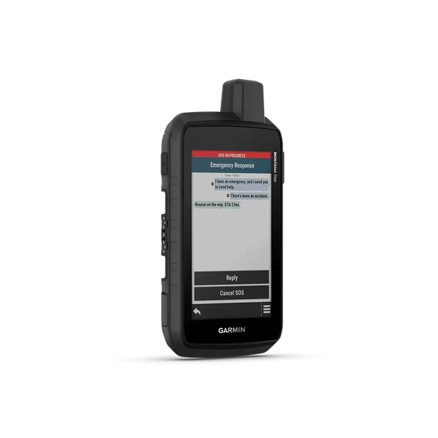 |
Garmin GPSMAP H1i Plus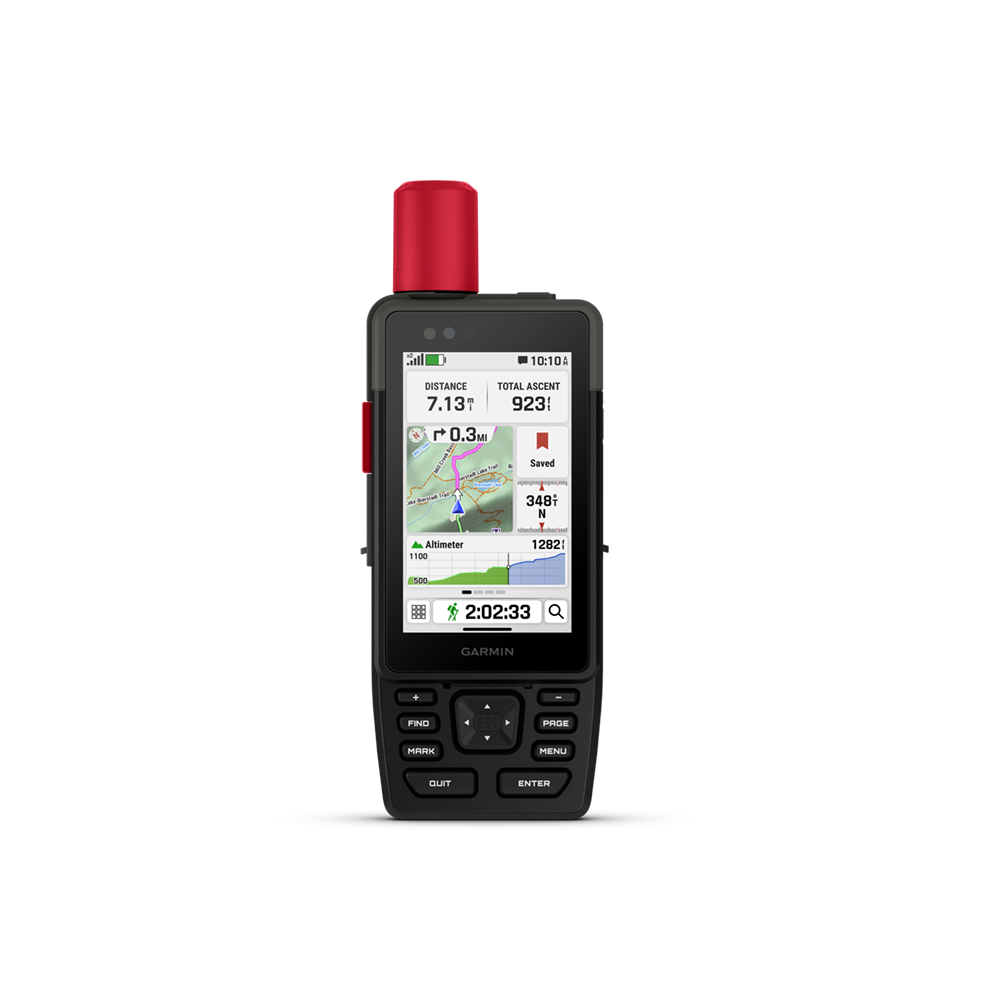 |
Garmin inReach Messenger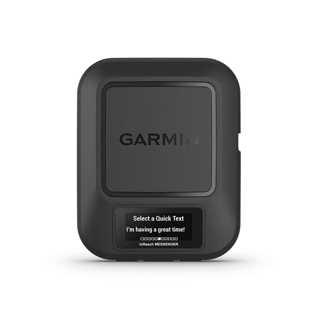 |
Garmin inReach Messenger Plus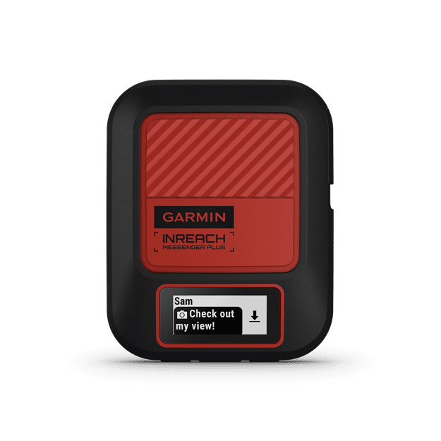 |
ZOLEO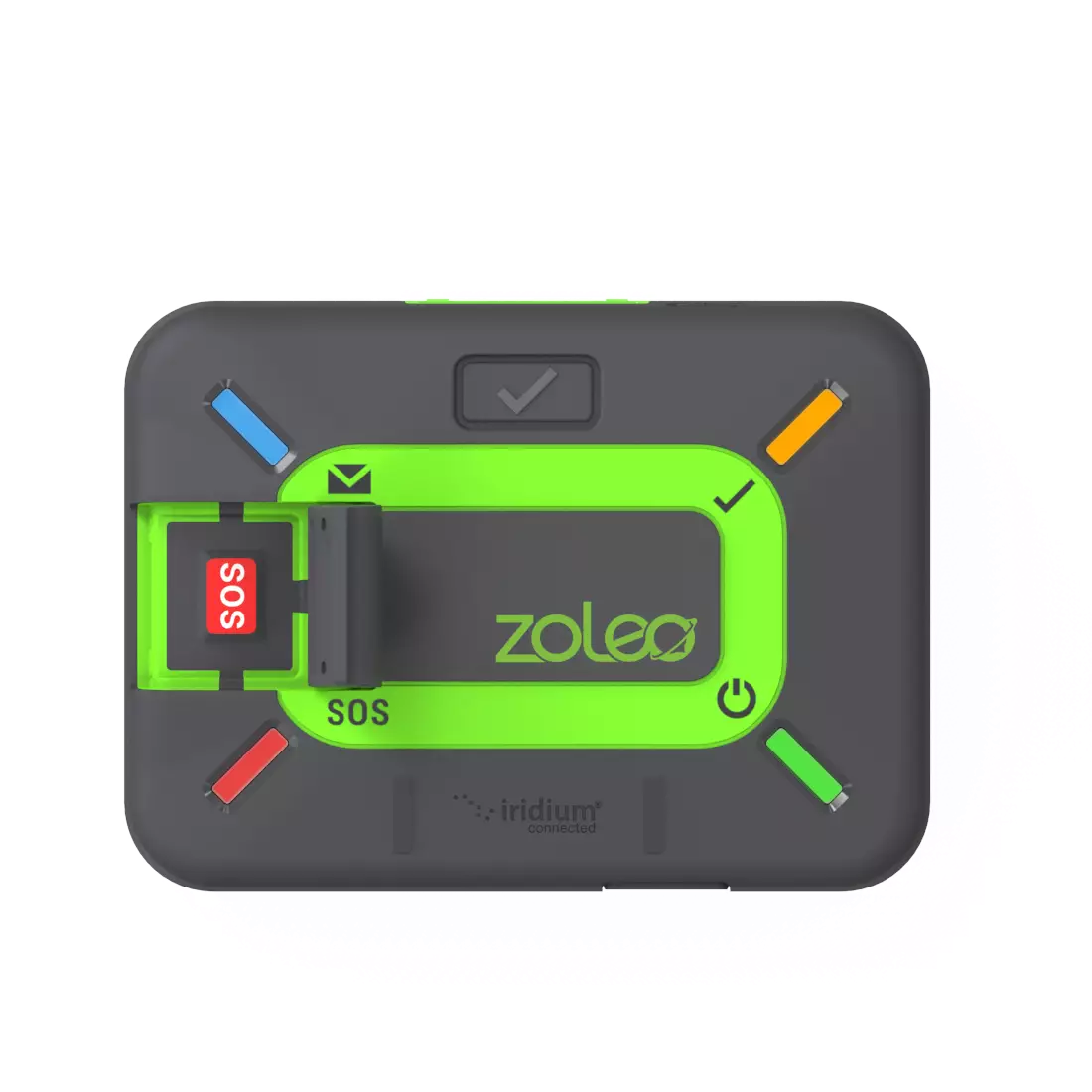 |
Motorola defy satellite link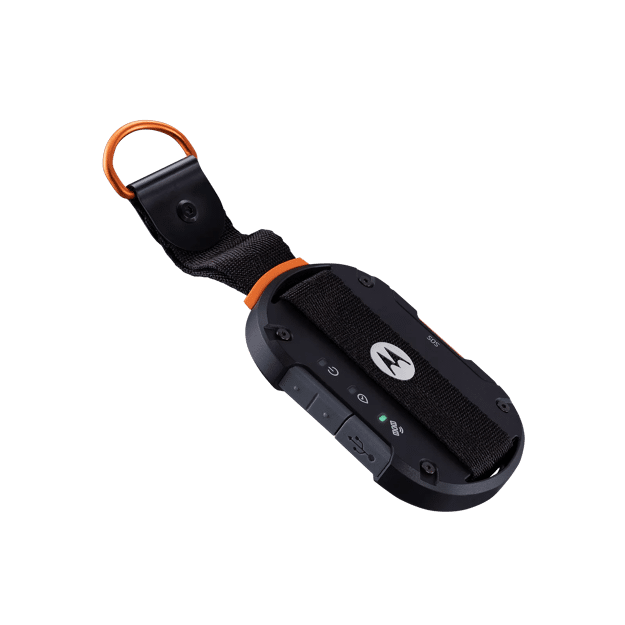 |
Iridium GO!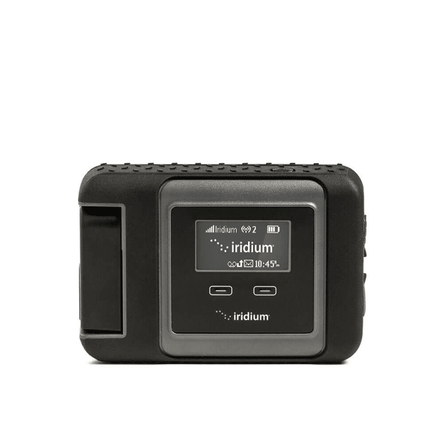 |
Iridium GO! exec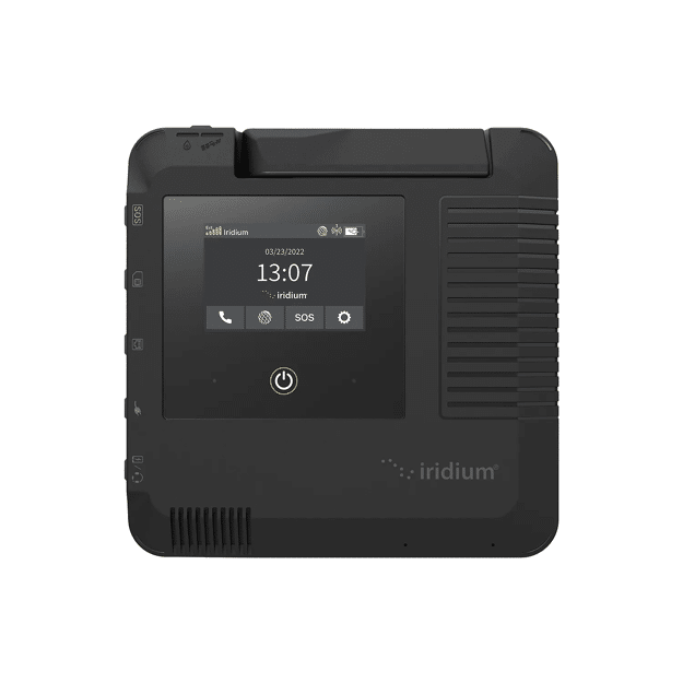 |
|
|---|---|---|---|---|---|---|---|---|---|---|---|---|---|---|
| Satellite Constellation | LEOSAR-GEOSAR maintained by NOAA | 34 LEO satellites maintained by GlobalStar | 34 LEO satellites maintained by GlobalStar | 66 cross-linked LEO satellites maintained by Iridium | 66 cross-linked LEO satellites maintained by Iridium | 66 cross-linked LEO satellites maintained by Iridium | 66 cross-linked LEO satellites maintained by Iridium | Skylo geostationary satellites + LTE + WiFi + Bluetooth | 66 cross-linked LEO satellites maintained by Iridium + Cellular network + WiFi | 66 cross-linked LEO satellites maintained by Iridium + Cellular network + WiFi | 66 cross-linked LEO satellites maintained by Iridium + Cellular network + WiFi | Inmarsat and Echostar geostationary satellite networks | 66 cross-linked LEO satellites maintained by Iridium | 66 cross-linked LEO satellites maintained by Iridium |
| Coverage | Global | Virtually Global – mostly inland, some off shore | Virtually Global – 2-way messaging is Americas, Europe and most of Africa | Global | Global | Global | Global | Continental U.S., parts of Canada and most of Europe + 50 miles offshore - View coverage map here | Global | Global | Global | Virtually Global – View coverage map here | Global | Global |
| Where does your distress signal go? | Cospas | FocusPoint International, Inc. | FocusPoint International, Inc. | Garmin Response Center | Garmin Response Center | Garmin Response Center | Garmin Response Center | Garmin Response Center | Garmin Response Center | Garmin Response Center | Global Rescue | FocusPoint International, Inc. | GEOS EIRCC | GEOS EIRCC |
| Annual or Monthly Fee | Not mandatory – annual fee is only used for advanced self tests. Beacon testing can be done without the 406Link service. | Mandatory | Mandatory | Mandatory | Mandatory | Mandatory | Mandatory | Mandatory | Mandatory | Mandatory | Mandatory | Mandatory | Mandatory | Mandatory |
| SOS | ✅ | ✅ | ✅ | ✅ | ✅ | ✅ | ✅ | ✅ | ✅ | ✅ | ✅ | ✅ | ✅ | ✅ |
| Help – send for help to predetermined contacts | ❌ | ✅ | ✅ | ✅ | ✅ | ✅ | ✅ | ✅ | ✅ | ✅ | ❌ | ❌ | only if GEOS Service is declined in the initial setup | |
| Check-in/OK | ✅ | ✅ | ✅ | ✅ | ✅ | ✅ | ✅ | ✅ | ✅ | ✅ | ✅ | ✅ | ❌ | |
| Custom Message | ✅ (pre-determined messages only) | ✅ (pre-determined 120 character messages only) | ✅ | ✅ (160 character messages when paired with iPhone or Android) | ✅ (up to 1,600 characters per message on device) | ✅ | ✅(1,600 character messages, photos, voice messages, group messages, when paired with iPhone or Android) | ✅ | ✅(160 character messages when paired with iPhone or Android) | ✅ (1,600 character messages, photos, voice messages, group messages, when paired with iPhone or Android) | ✅ (SMS/text up to 160, email up to 200, app-to-app 900+ characters via the Zoleo App when paired with iPhone or Android) | ❌ | ✅ | ✅ |
| Tracking | ❌ | ✅ (additional fee) | ✅ | ✅ | ✅ | ✅ | ✅ | ✅ | ✅ | ✅ | ❌ | ❌ | ✅ | ✅ |
| 2-way Communication via Text/SMS | ❌ | ❌ | ✅ | ✅ | ✅ | ✅ | ✅ | ✅ | ✅ | ✅ | ✅ | ✅ | ✅ | ✅ |
| Send and receive group messages | ❌ | ❌ | ❌ | ✅ | ✅ | ✅ | ✅ | ❌ | ✅ | ✅ | ❌ | ❌ | ❌ | ✅ |
| Make and Receive Phone Calls | ❌ | ❌ | ❌ | ❌ | ❌ but can send and receive voice messages | ❌ but can send and receive voice messages | ❌ but can send and receive voice messages | ✅(via LTE using the Messenger Calls and Garmin Messenger apps) | ❌ | ❌ but can send and receive voice messages | ❌ | ❌ | ✅ | ✅ |
| Email Access | ❌ | ❌ | ❌ | ❌ | ❌ | ❌ | ❌ but can send and receive text messages to email | ❌ | ❌ | ❌ but can send text messages to email | ❌ | ❌ | ✅ via Iridium Go! app | ✅ |
| Send and receive photos | ❌ | ❌ | ❌ | ❌ | ✅in inReach Mini 3 Plus ONLY | ❌ | ✅ | ❌ | ❌ | ✅ | ❌ | ❌ | ✅ via Iridium Mail & Web app | ✅ |
| Weather forecasts | ❌ | ❌ | ❌ | ✅ (via Garmin Expolore app) | ✅ (via Garmin Expolore app) | ✅ (via Garmin Expolore app) | ✅ (via Garmin Expolore app) | ✅ (via LTE) | ✅(via Garmin Expolore app) | ✅ (via Garmin Expolore app) | ✅ | ❌ | ✅ | ✅ |
| Mapping | ❌ | ❌ | ❌ | Sync with the Garmin Explore website or the mobile app on your compatible smartphone for navigation, waypoints, courses, activities and collections. Also get access to trip planning and topographical mapping. | Sync with the Garmin Explore website or the mobile app on your compatible smartphone for navigation, waypoints, courses, activities and collections. Also get access to trip planning and topographical mapping. | Preloaded Garmin TopoActive maps of North America. Compatible with other Garmin mapping, BirdsEye, U.S. NOAA charts and more either via the Garmin Explore App or pre-loaded microSD cards or downloads (depends on map and usage). | Preloaded Garmin TopoActive maps of North America. Compatible with other Garmin mapping, BirdsEye, U.S. NOAA charts and more either via the Garmin Explore App or pre-loaded microSD cards or downloads (depends on map and usage). | Preloaded Garmin TopoActive maps of North America, 43,000 Golf Courses worldwide, Preloaded Ski resort maps, Preloaded cycle maps. | Sync with the Garmin Explore website or the mobile app on your compatible smartphone for navigation, waypoints, courses, activities and collections. Also get access to trip planning and topographical mapping. | Sync with the Garmin Explore website or the mobile app on your compatible smartphone for navigation, waypoints, courses, activities and collections. Also get access to trip planning and topographical mapping. | ❌ | ❌ | ❌ | ❌ |
| Pairs with IOS or Android devices via Bluetooth | ❌ | ❌ | ❌ | ✅ | ✅ | ✅ | ✅ | ✅ | ✅ | ✅ | ✅ | ✅ | ✅ | ✅ |
| Keyboard for on-device message construction | ❌ | ❌ | ✅ | No. Use up and down toggle buttons or pair to smartphone for easy typing. | ✅ Touchscreen QWERTY keyboard with Next Word and Auto Complete functions | ✅ Touchscreen QWERTY keyboard | ✅ Touchscreen QWERTY keyboard | ✅ Touchscreen QWERTY keyboard | No. Pair to smartphone for typing. | No. Pair to smartphone for typing. | No. Pair to smartphone for typing. | No. Pair to smartphone for typing. | No. Pair to smartphone for typing. | No. Pair to smartphone for typing. Built-in speakerphone and microphone functionality. |