Garmin Pre-Programmed Marine Charts
Thursday, September 9, 2010 — 0 Comments
What kind of BlueChart card does your Garmin unit take?
Garmin offers detailed marine maps and charts on Garmin Navionics+, Garmin Navionics Vision+, BlueChart g3 mircoSD cards, and BlueChart g3 Vision microSD cards, formats that make it easy and convenient to load detailed charts to your compatible Garmin. These data cards do not include any software for use on a PC. PC pre-planning is no longer available. Pre-planning can be done with Garmin’s ActiveCaptain App on either an Apple or Android based device. See the product compatibility lists below to determine which card is recommended for your device.
| Discontinued >> Garmin BlueChart g2 data cards are compatible with fixed-mount and portable chartplotters (compatibility upgrades are also available for Garmin’s existing large-format plotters). |
|
| Compatibility | BlueChart g2 HD microSD cards | BlueChart g2 Vision HD microSD cards |
| eTrex Cx/HCx, nüvi 500 series, GPSMAP 60Cx/CSx, 76Cx/CSx, Rino 530HCx | Not Supported | Not Supported |
| Monterra, Colorado, Dakota 20, Oregon, Montana,62s/st/sc/stc, 64/s/st, 66s/st,78s/sc, eTrex 20/30, eTrex ouch25/35/35t, , Rino 610/650/650t/655t/750/755t | Limited Capabilities1 | Not Supported |
| GPSMAP 400 series, 500 series, 600 series, 700 series, 4000, 4200, 5000, 5200,6000, 6200, 7000 and 7200 series | Limited Capabilities1 | Limited Capabilities1 |
| echoMAP™series, echoMAP CHIRP series, echoMAP Plus series | Compatible2 | Recommended2 |
| GPSMAP 5×7, 7×1, 8×0 and 10×0 combo series GPSMAP 7x2xs, 9x2xs, 10x2xsv, 12x2xsv |
Compatible2 | Recommended2 |
| GPSMAP 7400, 7600, 8000, 8200, 8400, 8500 and 8600 chartplotter series | Compatible2 | Recommended2 |
1These products are compatible with BlueChart® g2 HD, but do not display 1-foot HD fishing contours and are limited to traditional fishing charts. BlueChart G3 Cartography Compatibility of Features and Units
2A software update available for free at Garmin.com may be necessary to enable all functionality
| Compatibility | BlueChart g3 microSD cards |
BlueChart g3 Vision microSD cards |
| eTrex Cx/HCx, nüvi 500 series, GPSMAP 60Cx/CSx, 76Cx/CSx, Rino 530HCx | Not Supported | Not Supported |
| Monterra, Colorado, Dakota 20, Oregon, Montana 600 series,64/s/st, eTrex 20/30, eTrex Touch 25/35/35t,Rino 610/650/650t/655t/750/755t, 276Cx | Not Supported | Not Supported |
| GPSMAP62s/st/sc/stc, GPSMAP 78/78s/78sc, 86s/86sc/86sci, GPSMAP 65/65s, 66x/66st/66i/66sr, MARQ Captain, Montana 700 Series, fenix 5 Plus, fenix 6 Pro Series, fenix 6 Solar Series, quatix 6, Descent Mk2, Rino 750/755t | Limited Capabilities1 | Not Supported |
| GPSMAP 400 series, 500 series, 600 series, 700 series, 4000, 4200, 5000, 5200, 6000, 6200, 7000 and 7200 series | Limited Capabilities1 | Limited Capabilities1 |
| echoMAP™series, echoMAP CHIRP series, echoMAP Plus series, echoMAP UHD series | Compatible2 | Recommended2 |
| GPSMAP 5×7, 7×1, 8×0 and 10×0 combo series GPSMAP 7x2xs, 9x2xs, 7x3xs, 9x3xs, 10x2xsv, 12x2xsv | Compatible2 | Recommended2 |
| GPSMAP 7400, 7600, 8000, 8200, 8400, 8500 and 8600 chartplotter series | Compatible2 | Recommended2 |
Garmin BlueChart g2 HD, BlueChart g2 Vision HD, BlueChart g3 & BlueChart g3 Vision Differences
| Features | BlueChart g2 Preloaded to chartplotters | BlueChart g2 HD microSD cards | BlueChart g2 Vision HD microSD cards | BlueChart g3 Preloaded to chartplotters | BlueChart g3 microSD cards | BlueChart g3 Vision microSD cards |
| Integrated Garmin and Navionics® content | • | • | • | |||
| Raster cartography2 | • | • | ||||
| High-resolution relief shading3 | • | |||||
| Patented Auto Guidance1 to suggest the best path | • | • | • | • | ||
| Depth Range Shading for up to 10 depth ranges | • | • | • freshwater lakes |
• | • | |
| Up to 1’ contours | • | • | • freshwater lakes |
• | • | |
| Shallow Water Shading to aid in safe navigation | • | • | • | • | • | • |
| Unique 3-D views with MarinerEye and FishEye | • | • | ||||
| High-resolution satellite imagery | • | • | ||||
| Charts derived from official charts and private sources to provide: Navigational aids Spot soundings Depth contours Tides and currents Detailed harbors and marinas |
• | • | • | • | • | • |
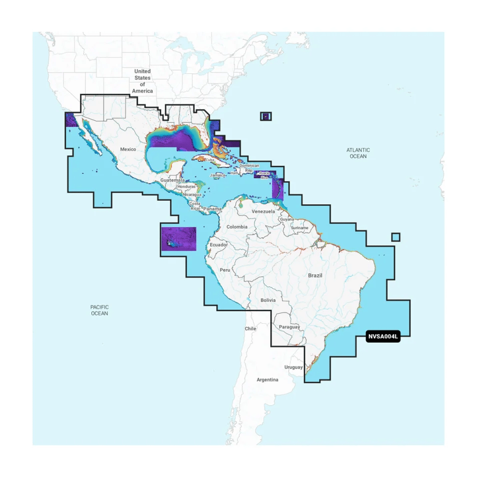
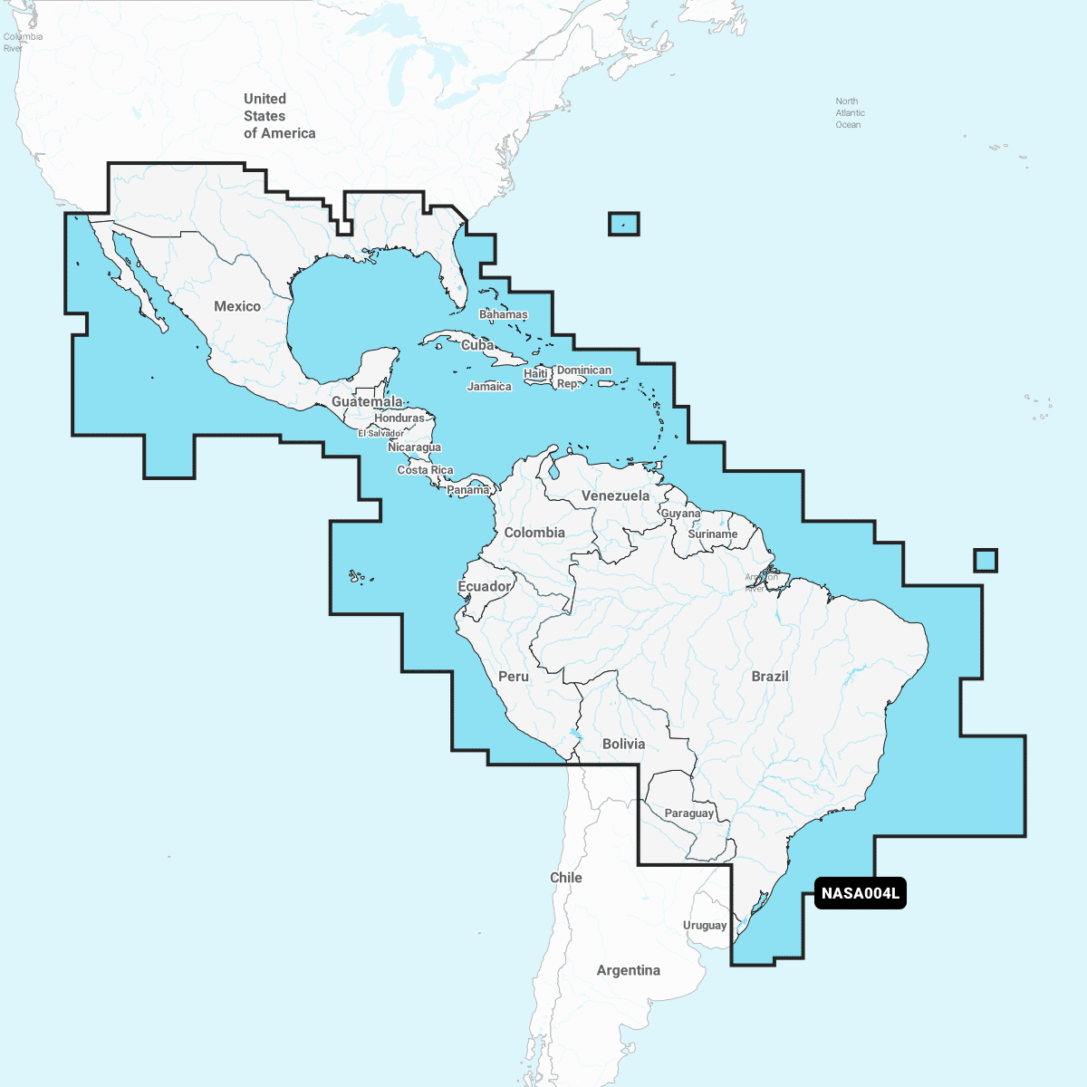
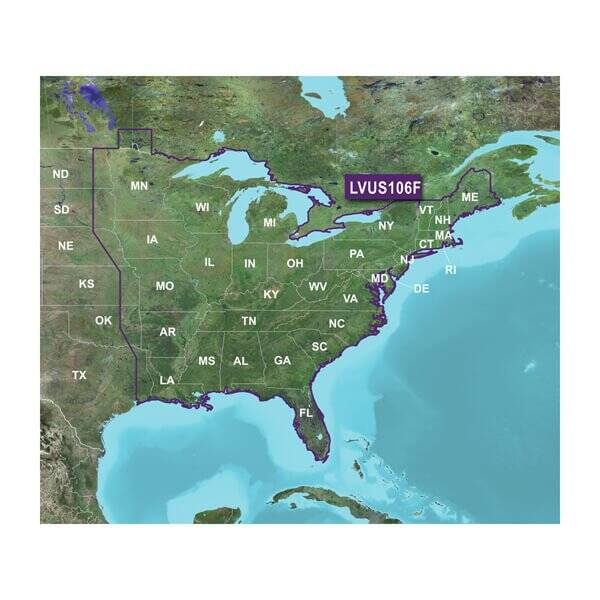
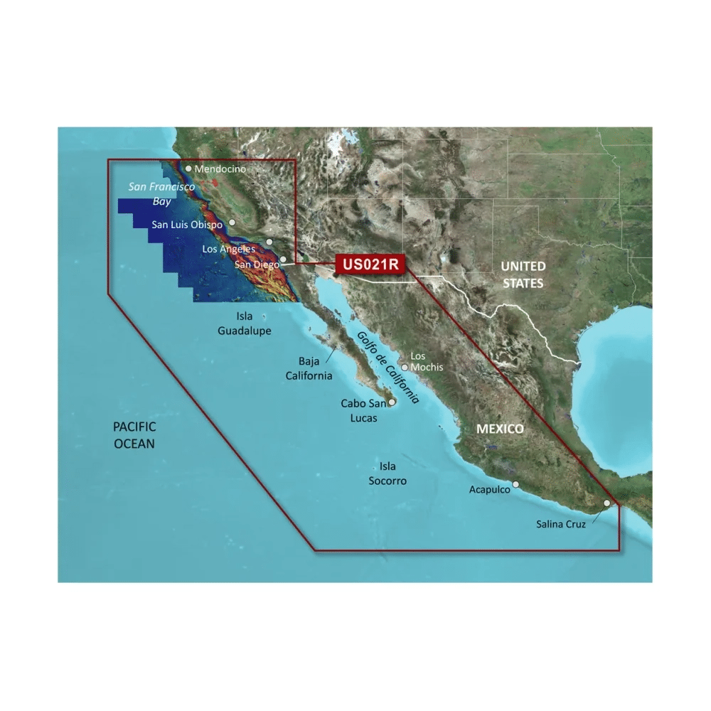
| Coverage | Worldwide, excluding: U.S., Canada, Bahamas and Europe |
Worldwide, excluding: U.S., Canada, Bahamas and Europe |
Worldwide, excluding: U.S., Canada, Bahamas and Europe |
U.S., Canada, Bahamas and Europe |
U.S., Canada, Bahamas and Europe |
U.S., Canada, Bahamas and Europe |
1Auto Guidance is for planning purposes only and does not replace safe navigation operations
2For the echoMAP™ CHIRP and ECHOMAP Plus combos, raster cartography is available only through the ActiveCaptain® mobile app
3High resolution elevation shading is compatible with the following devices after required software update (available in April, 2019) is applied to the device: GPSMAP® 7×2, 9X2, 10X2, 12X2, 12X2 Touch, 7400, 7600, 8400xsv, 8600xsv chartplotters, GPSMAP 85×0 and 8700 black boxes and ECHOMAP™ Plus 4x,6x, 7x, 9x chartplotter/sonar combos
Garmin Navionics+ and Garmin Navionics Vision+ Compatibility
| ECHOMAP™ UHD (7/9) | • | GPSMAP A12 | • | GPSMAP 8700 BB | • |
| ECHOMAP UHD2 (5/7) | • | GPSMAP A7 | • | GPSMAP A7 – VOLVO | • |
| ECHOMAP ULTRA (10/12) | • | GPSMAP 7X2/9X2/12X2 PLUS | • | GPSMAP A12 – VOLVO | • |
| GPSMAP® 10×2/12×2 | • | GPSMAP 7X3/9X3/12X3 | • | GPSMAP B7/B9/B12 – VOLVO | • |
| GPSMAP 12X2 TOUCH | • | GPSMAP 8400/8600 | • | GPSMAP 8400/8600 – VOLVO | • |
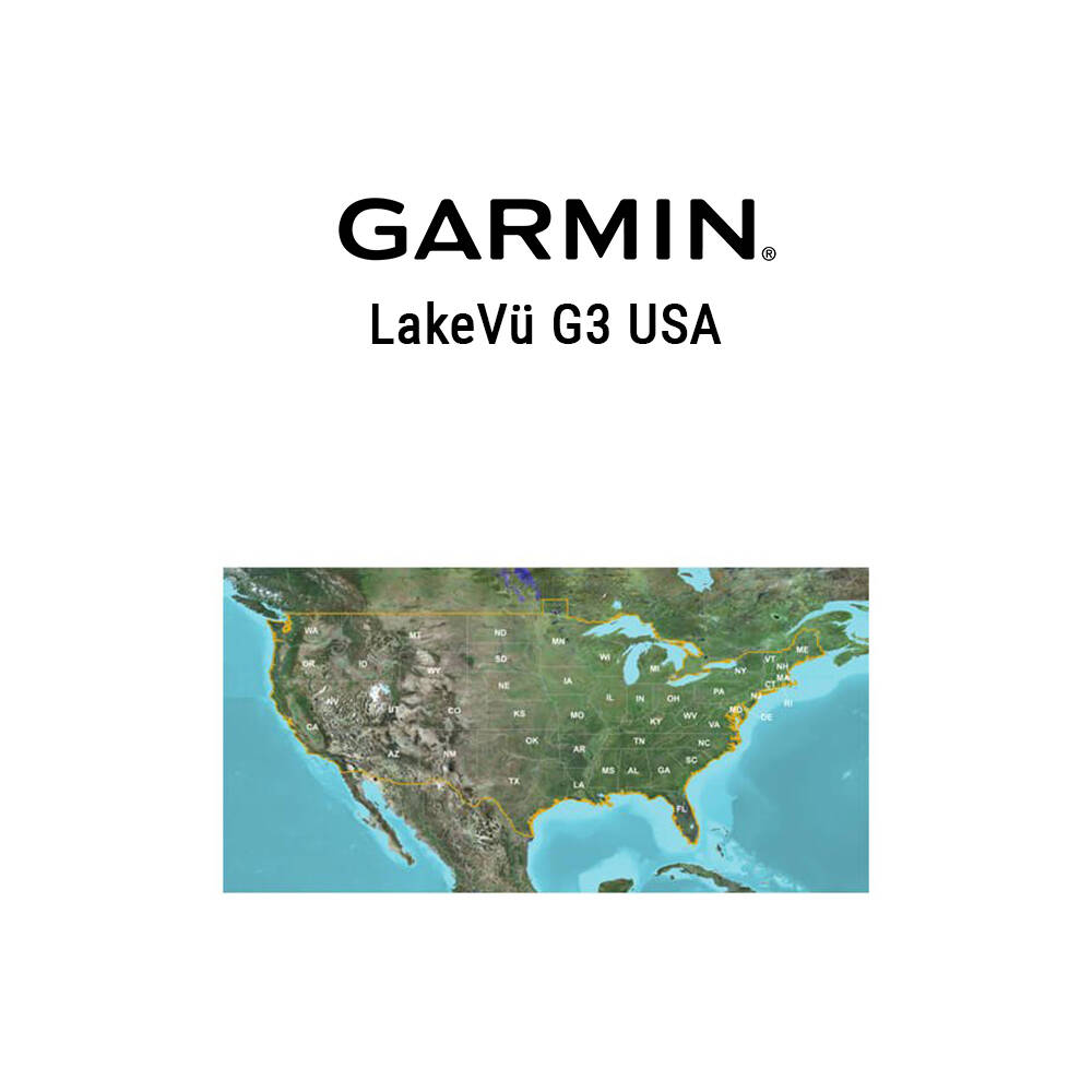
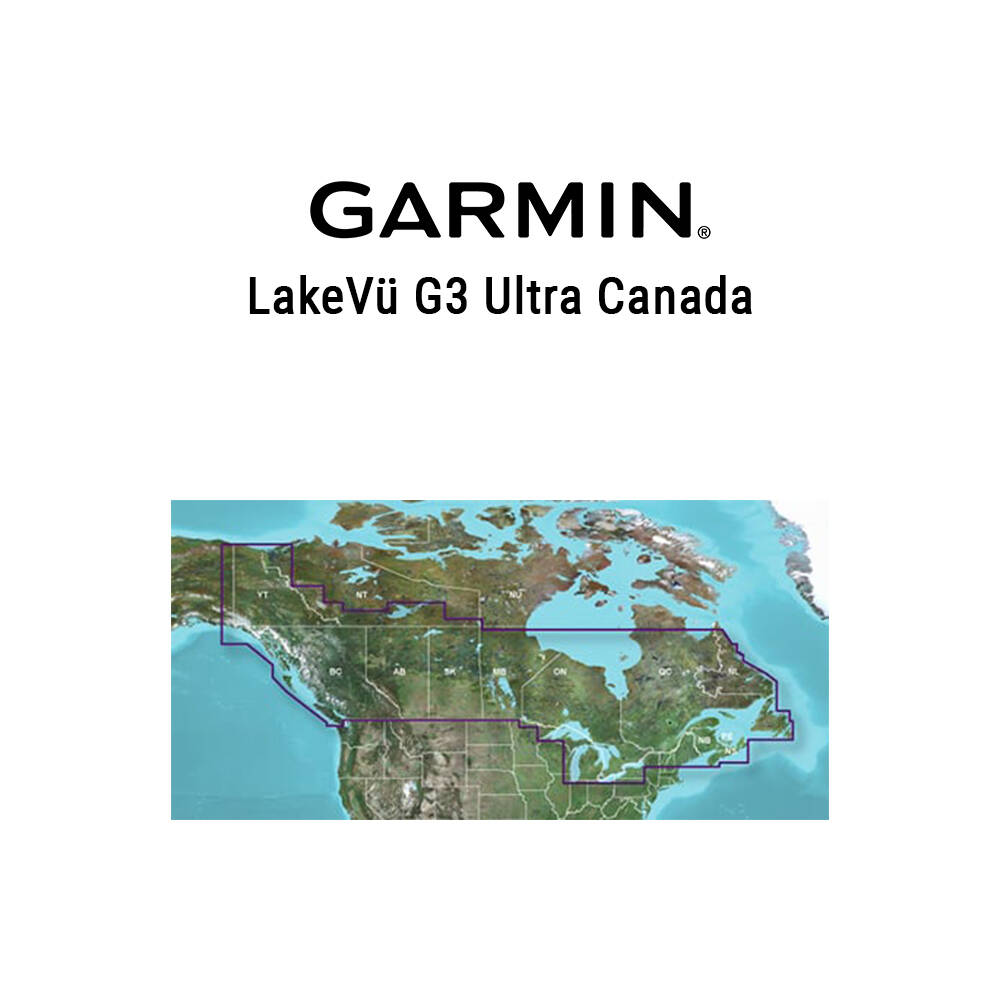
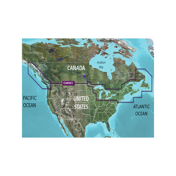
Garmin Navionics (Vision)+, BlueChart G3 (Vision) and LakeVu G3 (Ultra) Comparison
| GARMIN NAVIONICS+ |
GARMIN NAVIONICS VISION+™ |
BLUECHART® G3 |
BLUECHART® G3 VISION |
LAKEVÜ™ G3 | LAKEVÜ™ G3 ULTRA |
|
|---|---|---|---|---|---|---|
| Daily updates | • | • | ||||
| Integrated Garmin and Navionics® content |
• | • | • | • | • | • |
| Auto Guidance+™ technology1 (faster route calculation times and improved routing detail dock-to-dock) |
• | • | ||||
| Auto Guidance™ technology1 | • | • | • | • | ||
| Depth range shading | • | • | • | • | • | • |
| Up to 1’ contours | • | • | • | • | • | • |
| Shallow water shading | • | • | • | • | • | • |
| Raster cartography | Via ActiveCaptain app |
Via ActiveCaptain app |
Via ActiveCaptain app |
Via ActiveCaptain app |
||
| ActiveCaptain® app support | • | • | • | • | • | • |
| ActiveCaptain Community | • | • | • | • | • | • |
| Includes coastal mapping | • | • | • | • | ||
| Includes lake charts | • | • | • | • | ||
| High-resolution relief shading* | Via ActiveCaptain app |
•2 | • | |||
| High-resolution satellite imagery* | Via ActiveCaptain app |
• | • | |||
| 3D chart views | • | • | • | |||
| Aerial photography | • | • | • | |||
| Dynamic Lake Level | • | • | ||||
| Sonar imagery* | Via ActiveCaptain app |
• | ||||
| Side scan images | • | • |
*Subscription feature
1Auto Guidance+ and Auto Guidance technology is for planning purposes only and does not replace safe navigation operations
2Relief shading for U.S. waters is preloaded on BlueChart g3 Vision marine chart cards. In other areas where this feature is available, it must be downloaded to BlueChart g3 Vision cards via the ActiveCaptain app.