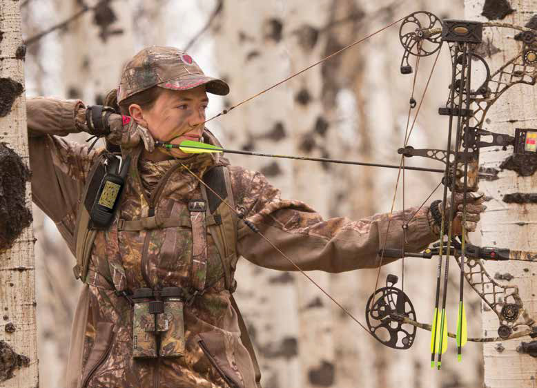
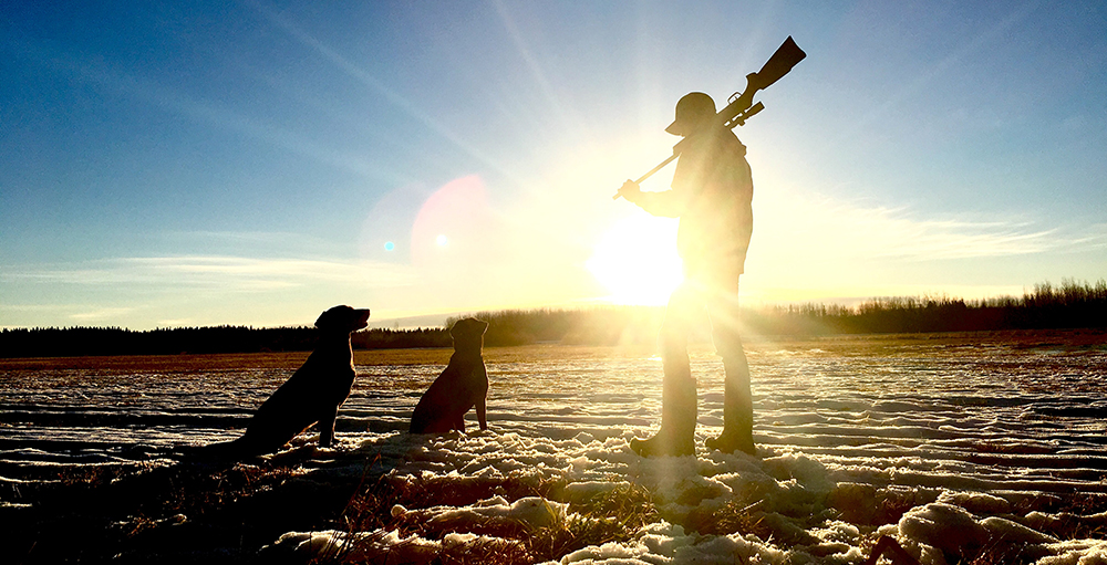
THE
STORIES from GPS CENTRAL'S 2007
Photo & Story
Contest Winners>
The Geocache Hunter
Here we see the elusive geocacher in his natural habitat. Off he goes, let's follow. Here comes a muggle! Notice the geocacher’s special defense mechanism… Muggle deception! Crickey! That muggle was deceived and moves on.
Look out dag! Take your nose out of your GPS long enough to see where you are going! Armed with a unit purchased at GPS Central, he’s unstoppable! [By the way, this did not influence judging. The entry's effort on account of the illustrated booklet format, its geocaching spirit and pic quality did. - Ed.]
Crickey! The GPS estimates he is very close! The search begins. He is going to avago at a First To Find, and is very territorial. If he suspects you are looking for the same thing he is he may inject you with deadly venom… O.K I lied about the venom part, but his teeth sure look sharp!
Blimey! This bloke has found it! Watch as he uses his highly evolved fingers to pry open the Tupperware. Crickey! He is first to find!!
(untitled story)
After a few years in Calgary the itch to go back home was overwhelming. Home for me is Newfoundland. There I went fishing with my Dad who has a Lowrance H20 loaded with Navionics charts for our area. Here are some pics from our multiple fishing trips.
Our boat is 21ft and outfitted with a VHF radio and GPS. Its not very big but it gets the job done. We only fish for our own consumption. Without the GPS the obstructions in the fog could have been a real hassell. With out the GPS we could of hit the under water rocks surrounding the exposed rock in the picture. Thank goodness I hate swimming in cold water.
Here is my dad holding one of the many fish we pulled from the Atlantic ocean. He showed me how he uses the Lowrance H20 and Navionics charts to find good fishing locations by watching the shoals on the the GPS. We easily pulled our daily limit in a few hours.
A late-summer scramble in the Rockies.
Our hand-held GPS has become a staple on our excursions into the Rockies. With up-loaded maps it provides invaluable support for route-finding. In addition, the nice “extras” such as an altimeter let us know when we are getting close to our objective. It also keeps us honest, ensuring we don’t embellish our stories of pain and suffering with an unrealistic account of elevation gain. It also helps us keep track of our photo collection (great for us old-timers who don’t always remember all the details).
Here’s a photo of my son Jeffrey on the peak of Mount Chester checking the location and elevation against that provided in the guide-book!
Motorcycling the Continental Divide
On August 1st 2007 two friends and I left Calgary to ride our motorcycles down the Continental Divide Route, a mountain bike backroads route from Roosville Montana to Antelope Wells New Mexico. To guide me I had my Garmin GPSs, an Etrex Vista Cx and a Foretrex 101. The Vista contained the routes and provided moving map navigation, and my Foretrex gave me constant information on elevation, distance traveled, and speed. Both units also recorded tracks on the trip.
We traveled almost 9000 km total, to Mexico and back. Very few of the roads we rode were paved, and some were mere trails in the wilderness. We climbed 12,000 foot mountains, crossed vast deserts, and crawled through canyons. The Vista guided us flawlessly for the full 23-day trip. Thanks to the GPS units, Mapsource, and a little planning, navigation on little-traveled routes was not only possible, but also nearly perfect!
(No story submitted with photos)
(untitled story)
This is my first time wakeboarding. I went to Ghost Lake, Alberta about 10 mins west of Cochrane on Saturday. I used my friend's Garmin nuvi 250 to drive from Calgary to Ghost Lake and used my 60CSx on the wake board boat to save the track so we could see where we were on the lake. It was very cool to have a GPS to find the nearest gas station and McDonald's Restaurant before we left Calgary in the morning too.
|
© 2001-2012
Mach Ten Enterprises Inc.
All rights reserved |
|
|
|